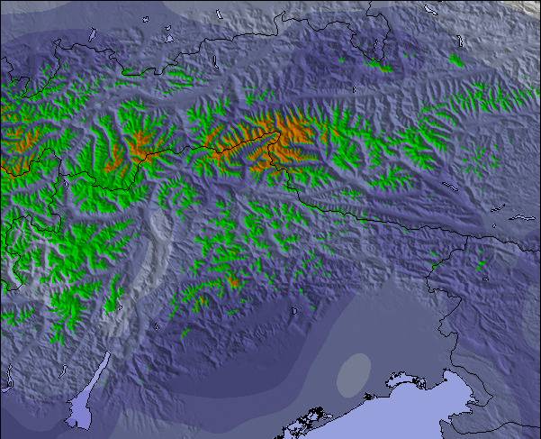
Tabellen ovanför visar väderprognosen förSeefeld-Reith/Gschwandtkopf vid1200 mhöjd. Våra avancerade vädermodeller tillåter oss att ge väderprognoser för toppen, mitten och botten utav backarna vid Seefeld-Reith/Gschwandtkopf. För att se vädret vid andra höjder, använd tabbnavigeraren ovanför tabellen. För en mera omfattande väderprognos, kolla in väderkartan för Austria.
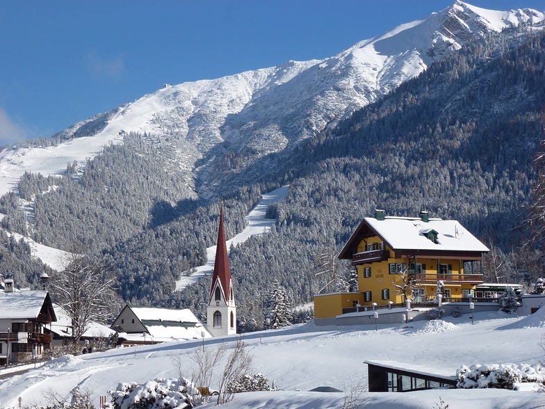
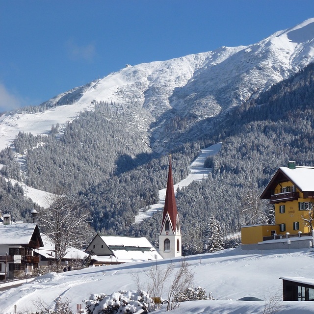
On the face of it Seefeld's second mountain has little to attract the diehard skier, but that would be to do the area a serious injustice!
With a vertical of only 300m this puts the Geschwandtkopf on a par and scale with say Glenshee, but beyond that all the comparables end. Why? Because all the runs are north facing so are snow sure through the season, the pistes are all deserted, so very little if any ice and the mountain has two FIS rated race pistes which many national teams train and race on.
Overall, the skiing is best suited to intermediates and beginners but advanced skiers will have a good day here too.
Add to all of this the subline views of the Inn Valley and Seefeld plateau, the high quality and very reasonably priced Sportalm at the bottom, which is perfect for celebrity spotting (we saw Claudia Schiffer there one Sunday!) and the fact that Seefeld is one of the best all-round winter sports resort in the Alps and you have the perfect ingredients for a very enjoyable day or two as an alternative Seefeld's other ski area the Rosshutte.
Recommended in small doses as part of a weeks stay in beautiful Seefeld.
Övergripande: 3.9 Baserat på 12 röster och 1 recension
Snösäkert
4.0
Variation av backar
2.3
Off-pist
2.5
Omgivningar
4.0
After Ski
3.3
Tirolerhund from United Kingdom writes:
On the face of it Seefeld's second mountain has little to attract the diehard skier, but that would be to do the area a serious injustice!
With a vertical of only 300m this puts the Geschwandtkopf on a par and scale with say Glenshee, but beyond that all the comparables end. Why? Because all the runs are north facing so are snow sure through the season, the pistes are all deserted, so very little if any ice and the mountain has two FIS rated race pistes which many national teams train and race on.
Overall, the skiing is best suited to intermediates and beginners but advanced skiers will have a good day here too.
Add to all of this the subline views of the Inn Valley and Seefeld plateau, the high quality and very reasonably priced Sportalm at the bottom, which is perfect for celebrity spotting (we saw Claudia Schiffer there one Sunday!) and the fact that Seefeld is one of the best all-round winter sports resort in the Alps and you have the perfect ingredients for a very enjoyable day or two as an alternative Seefeld's other ski area the Rosshutte.
Recommended in small doses as part of a weeks stay in beautiful Seefeld.
Gratis Snow-Forecast.com väder widget för din websida
Skidväderwidgeten nedan för Seefeld-Reith/Gschwandtkopfkan användas gratis på andra websidor. Den erbjuder en daglig uppdatering av vår Seefeld-Reith/Gschwandtkopf snöprognos och nuvarande väderförhållanden. För att ta del av denna tjänst, gå till feed configuration sidan och följ tre enkla steg för att få tag på vår custom html kod utdrag och klistra in den på din egen websida. Du kan välja snöprognos höjd (högsta punkten, mellersta berget eller nedersta liften) och metriska enheter för snöprognos uppdateringarna så att det passar din egen webbsida…. Klicka här för att få tillgång till koden.


 Nearest