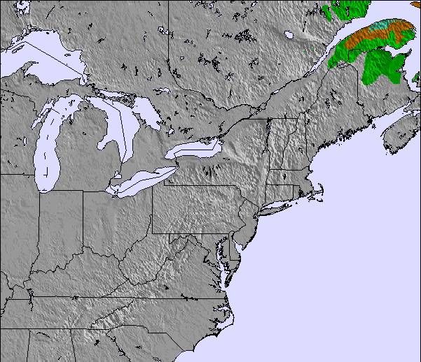
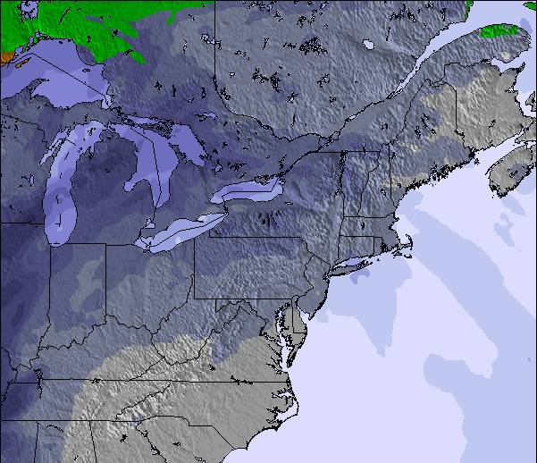
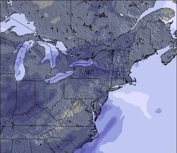
Tabellen ovanför visar väderprognosen förJay Peak vid553 mhöjd. Våra avancerade vädermodeller tillåter oss att ge väderprognoser för toppen, mitten och botten utav backarna vid Jay Peak. För att se vädret vid andra höjder, använd tabbnavigeraren ovanför tabellen. För en mera omfattande väderprognos, kolla in väderkartan för United States.
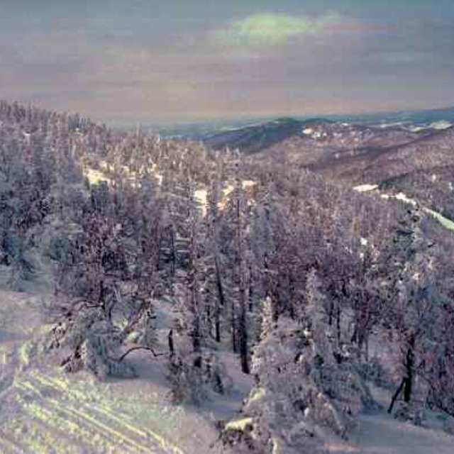
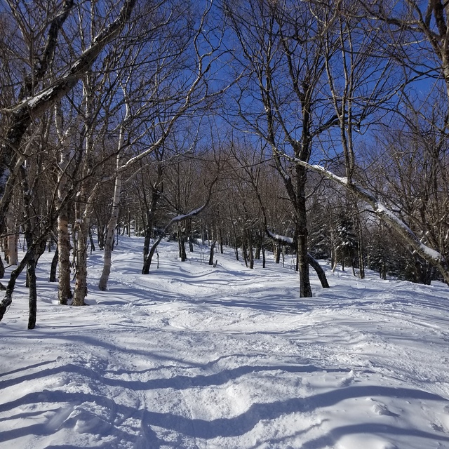
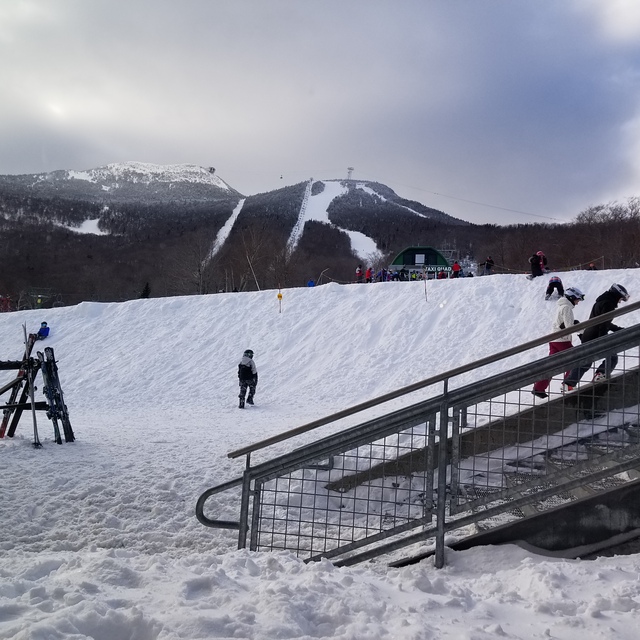
Lets face it, we're not comparing the terrain here to that of the phenomenal ski circuses found in the Austrian Alps, so getting grounded on that thought Jay Peak is one of the best to be skied venues in Eastern N.A.! You get the best chances for fresh here, combined with a reasonable consistent vertical drop and an assortment of runs ( I'd like to highlight the glades, moguls and piste pitch). It is, however, expensive to stay overnight on or off hill but does offer a great indoor waterpark for family; fyi: not pet friendly! They will fine you for it without compromise! Check out the General Store in Jay for a fabulous "Slab" sandwich and whatever else too!
Övergripande: 3.8 Baserat på 23 röster och 9 recensioner
Snösäkert
4.1
Variation av backar
4.3
Off-pist
4.6
Omgivningar
3.9
After Ski
3.6
Mark from Canada writes:
Lets face it, we're not comparing the terrain here to that of the phenomenal ski circuses found in the Austrian Alps, so getting grounded on that thought Jay Peak is one of the best to be skied venues in Eastern N.A.! You get the best chances for fresh here, combined with a reasonable consistent vertical drop and an assortment of runs ( I'd like to highlight the glades, moguls and piste pitch). It is, however, expensive to stay overnight on or off hill but does offer a great indoor waterpark for family; fyi: not pet friendly! They will fine you for it without compromise! Check out the General Store in Jay for a fabulous "Slab" sandwich and whatever else too!
Gratis Snow-Forecast.com väder widget för din websida
Skidväderwidgeten nedan för Jay Peakkan användas gratis på andra websidor. Den erbjuder en daglig uppdatering av vår Jay Peak snöprognos och nuvarande väderförhållanden. För att ta del av denna tjänst, gå till feed configuration sidan och följ tre enkla steg för att få tag på vår custom html kod utdrag och klistra in den på din egen websida. Du kan välja snöprognos höjd (högsta punkten, mellersta berget eller nedersta liften) och metriska enheter för snöprognos uppdateringarna så att det passar din egen webbsida…. Klicka här för att få tillgång till koden.


 Nearest