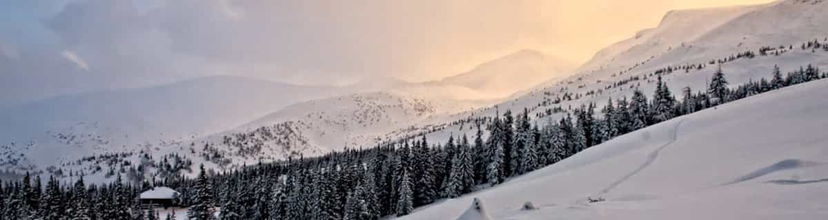


Portillo Re-Opens To Guests Arriving By Helicopter
Chile’s famous Portillo ski resort is reported to have re-opened to guests arriving by helicopter after being cut off by road for more than two weeks by over 6m/20 feet of snowfall.

Next 3 days weather summary:spö- | Dagar4-6 Sierra Nevada de Santa Marta väderöversiktspö- | |||||||||||||||||
måndag 3 | tisdag 4 | onsdag 5 | torsdag 6 | fredag 7 | lördag 8 | |||||||||||||
morgon | eftermiddag | natt | morgon | eftermiddag | natt | morgon | eftermiddag | natt | morgon | eftermiddag | natt | morgon | eftermiddag | natt | morgon | eftermiddag | natt | |
regnskurar | Måttligt regn | regnskurar | risk för åska | risk för åska | regnskurar | risk för åska | risk för åska | Måttligt regn | risk för åska | risk för åska | lätt regn | risk för åska | risk för åska | en del moln | regnskurar | risk för åska | klar | |
km/h | ||||||||||||||||||
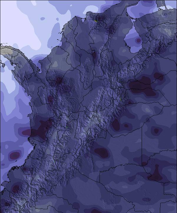
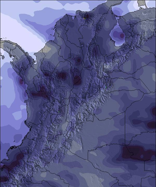
Snö karta | 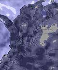 | 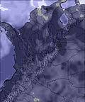 | 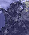 | 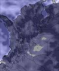 | 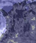 | 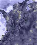 | ||||||||||||
— | — | — | — | — | — | — | — | — | — | — | — | — | — | — | — | — | — | |
mm | 1 | 6 | 3 | 4 | 4 | 2 | 5 | 11 | 6 | 4 | 33 | 5 | 2 | 3 | — | 1 | 2 | — |
max °C | 15 | 13 | 13 | 13 | 13 | 13 | 12 | 12 | 13 | 13 | 12 | 13 | 13 | 13 | 14 | 15 | 13 | 13 |
min °C | 14 | 13 | 12 | 12 | 13 | 12 | 12 | 11 | 11 | 13 | 11 | 12 | 13 | 13 | 13 | 14 | 13 | 13 |
chill °C | 14 | 13 | 12 | 12 | 13 | 12 | 12 | 11 | 11 | 13 | 11 | 12 | 13 | 12 | 13 | 14 | 13 | 13 |
Fukt. % | 56 | 87 | 67 | 78 | 86 | 75 | 83 | 93 | 70 | 72 | 94 | 78 | 73 | 78 | 55 | 37 | 73 | 49 |
Fryspunkt m | 5100 | 4950 | 5000 | 4950 | 5000 | 5000 | 4950 | 4950 | 5000 | 5050 | 4950 | 4950 | 5100 | 5100 | 5100 | 5250 | 5100 | 5050 |
5:43 | — | — | 5:43 | — | — | 5:43 | — | — | 5:43 | — | — | 5:43 | — | — | 5:43 | — | — | |
— | 6:17 | — | — | 6:17 | — | — | 6:16 | — | — | 6:16 | — | — | 6:16 | — | — | 6:15 | — | |
Bli Pro och få:
Senaste snörapporterna nära Sierra Nevada de Santa Marta:
| Top snow depth: | — |
|---|---|
| Bottom snow depth: | — |
| Fresh snowfall depth: | 16 cm |
| Last snowfall: | 28 Mar 2023 |
0.0 | Bluebird Pudersnö-dagar Nysnö, mest soligt, lätt vind. |
|---|---|
0.0 | Pudersnö-dagar Nysnö, halvsoligt, växlande vindar. |
0.0 | Bluebird dagar Genomsnittlig snö, mest soligt, lätt vind. |
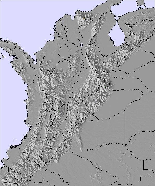
Tabellen ovanför visar väderprognosen förSierra Nevada de Santa Marta vid2896 mhöjd. Våra avancerade vädermodeller tillåter oss att ge väderprognoser för toppen, mitten och botten utav backarna vid Sierra Nevada de Santa Marta. För att se vädret vid andra höjder, använd tabbnavigeraren ovanför tabellen. För en mera omfattande väderprognos, kolla in väderkartan för Colombia.
Klicka här för mer information om frysningspunkter och hur vi fastställer våra temperaturer
This is the perfect ski-touring mountain. Attach your skis to your backpack on the beach (don't forget a tent and food) and hike up for about a week until you find some snow around 5000m. Be aware that you will walk through jungle for a long time (a machete comes in handy) and that the indigenous population might not want you there. After all, the mountain is of some spiritual importance to them. Skin-up once you reach the glaciated and heavily crevassed terrain. There are a number of short (first) descends possible that will blow your mind. Consider spending a few days on the foot of the glacier. Once you are done, pack up again and relax on the nearby beaches after hiking down for 3-4 days.
Ralph from Colombia writes:
This is the perfect ski-touring mountain.
Attach your skis to your backpack on the beach (don't forget a tent and food) and hike up for about a week until you find some snow around 5000m. Be aware that you will walk through jungle for a long time (a machete comes in handy) and that the indigenous population might not want you there. After all, the mountain is of some spiritual importance to them.
Skin-up once you reach the glaciated and heavily crevassed terrain. There are a number of short (first) descends possible that will blow your mind. Consider spending a few days on the foot of the glacier.
Once you are done, pack up again and relax on the nearby beaches after hiking down for 3-4 days.
Read 4 more reviews of Sierra Nevada de Santa Marta or submit your own


 Nearest